
Maybe “un-island” would be a better term. Like “undone,” meaning: something that once was but is no longer . . .
The Saturday morning of Memorial Day Weekend 2013, my friend Susan and I stopped at New York Bagel on Woodward Avenue, just three miles north of the famous “first mile of concrete highway,” before jumping on an I-75 stretch of concrete and heading south.
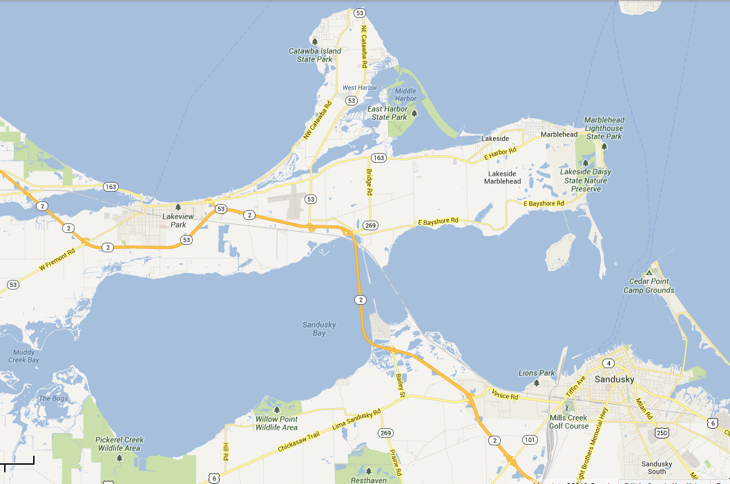
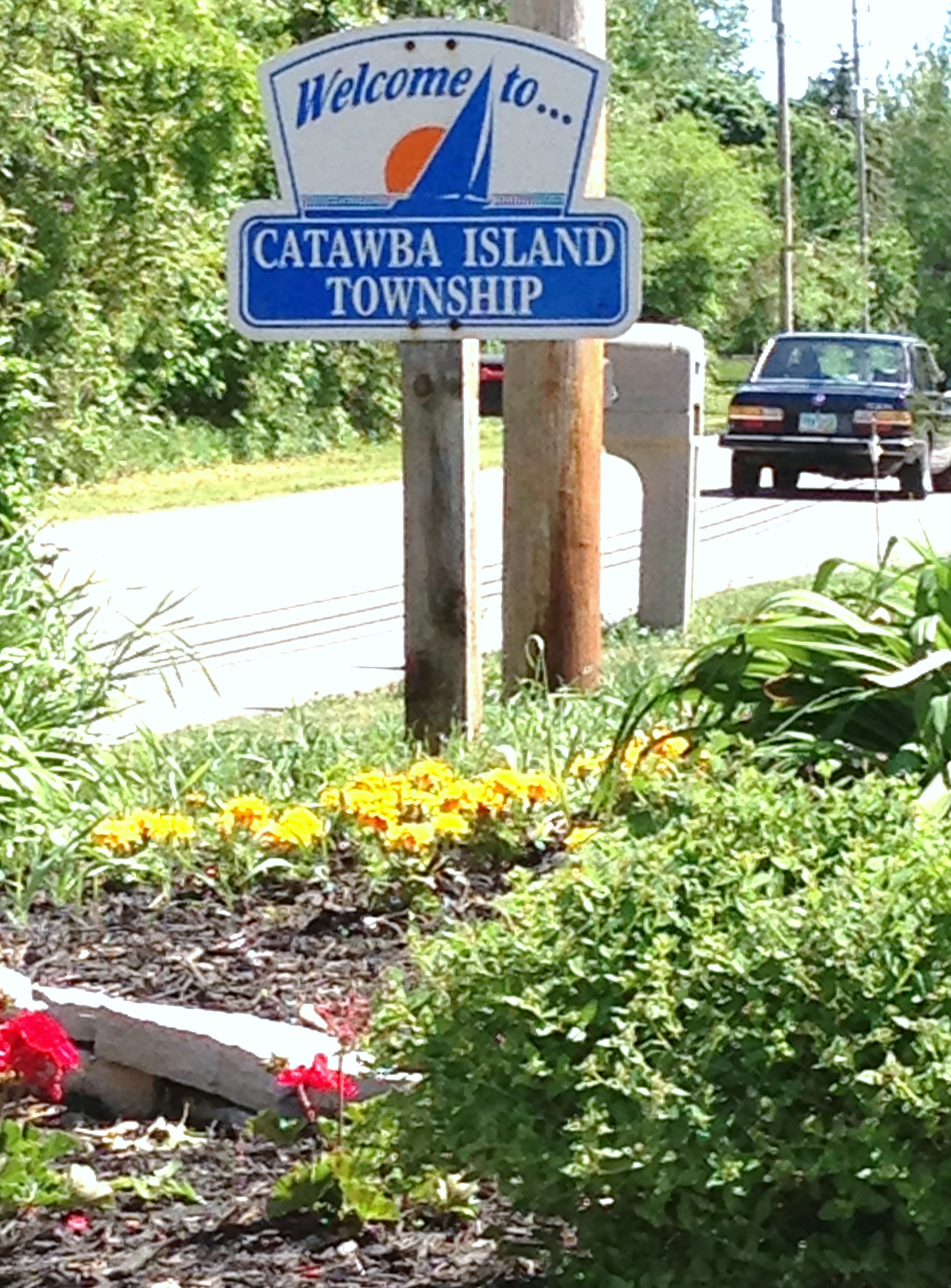
 We were off to explore two Ohio islands: Catawba Island and Johnson’s Island.
Catawba Island, which is (currently) a peninsula sprouting off of the north side of the larger west-to-east peninsula of Marblehead. Marblehead Peninsula serves as the northern arm of the long Sandusky Bay (which you can cross by bridge if you were coming from the east):
Catawba Island, “The Un-Island”
Map data ©2013 Google
So why is this landmass, Catawba Island, not just called “Catawba” and referred to as the peninsula it appears to be? Why does this peninsula have “island” in its name?
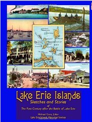
Included in Lake Erie Islands: Sketches and Stories of The First Century after the Battle of Lake Erie edited by Michael Gora (Lake Erie Islands Historical Society, 2004), is Lydia Ryall’s 1913 Sketches and Stories. One of these sketches, “Catawba Island, the Great Peach-Growing Center of Ohio,” suggests an answer:
“‘Why, and wherefore an island?’ This question is usually the first formulated and put by the curiosity-seeking stranger who approaches Catawba Island by stagecoach from Port Clinton–which, by the way, is the most available, and at certain seasons the only feasible, route thither.
“A trip to an island by stagecoach, instead of in a boat! The idea appear anomalous as it is novel: something similar to going to sea by rail, and, to discover how the thing is done, grows into a matter of keen interest as the observer progresses.
“His geography informs him than an island is ‘a body of land entirely surrounded with water’; and looking ahead–as the driver whips up his team–he vaguely wonders where, and how far along, the water lies, and how they are to get across it. Imagine, then his complete surprise when, after a jaunt of several miles, the driver informs him that the mainland is already far behind, and they they are now on Catawba Island. Had the stranger turned back a few miles over the route, to a place where the two main thoroughfares, the ‘sand road,’ and ‘lakeside’ road, form a cross, or fork, he might have been shown a narrow ditch with an unpretentious bridge thrown across it. This ditch, terminating at the lake, is all that now serves to make Catawba an island. Old settlers can remember, however, a narrow but clearly defined channel that extended between it and the mainland. Among the Indians* who as late as 1831 made the wilds of Catawba a rendezvous, there was rife a tradition that the course of the Portage River extended originally where on the ditch now remains, and that the water of this river, flowing towards its outlet at West Harbor, formed the island.”
[* The Lake Erie Island region was occupied by Ottawa and Huron (Wyandot) tribes at different times in the days before the War of 1812.]
So perhaps you can imagine what we were up to once we got on Catawba.
Yep, we started looking for “a place where the two main thoroughfares, the ‘sand road,’ and ‘lakeside’ road, form a cross, or fork.” None of the roads today are made of sand (more about that in another post); however, the bed-and-breakfast where we had reservations for the night, Five Bells Inn, had an address on E. Sand Road.
A few times turning around in driveways on the busy two-lane Sand Road, a couple back and forths down the same stretch of road, but, yes, there was a fork of two roads shortly beyond the base of the “peninsula” and look what we found:

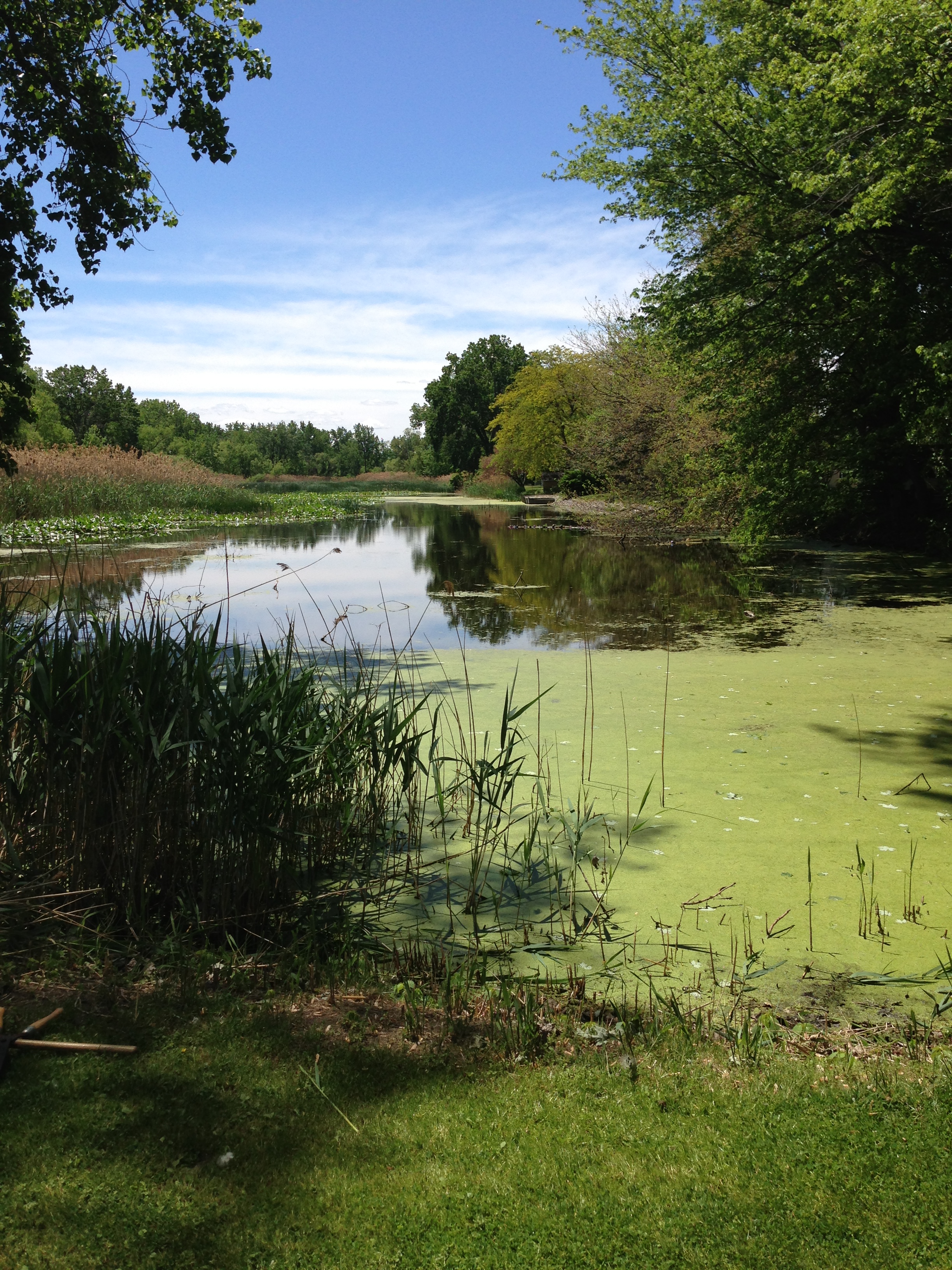
The Ditch
. . . which widens on the other side of the road into a true canal:
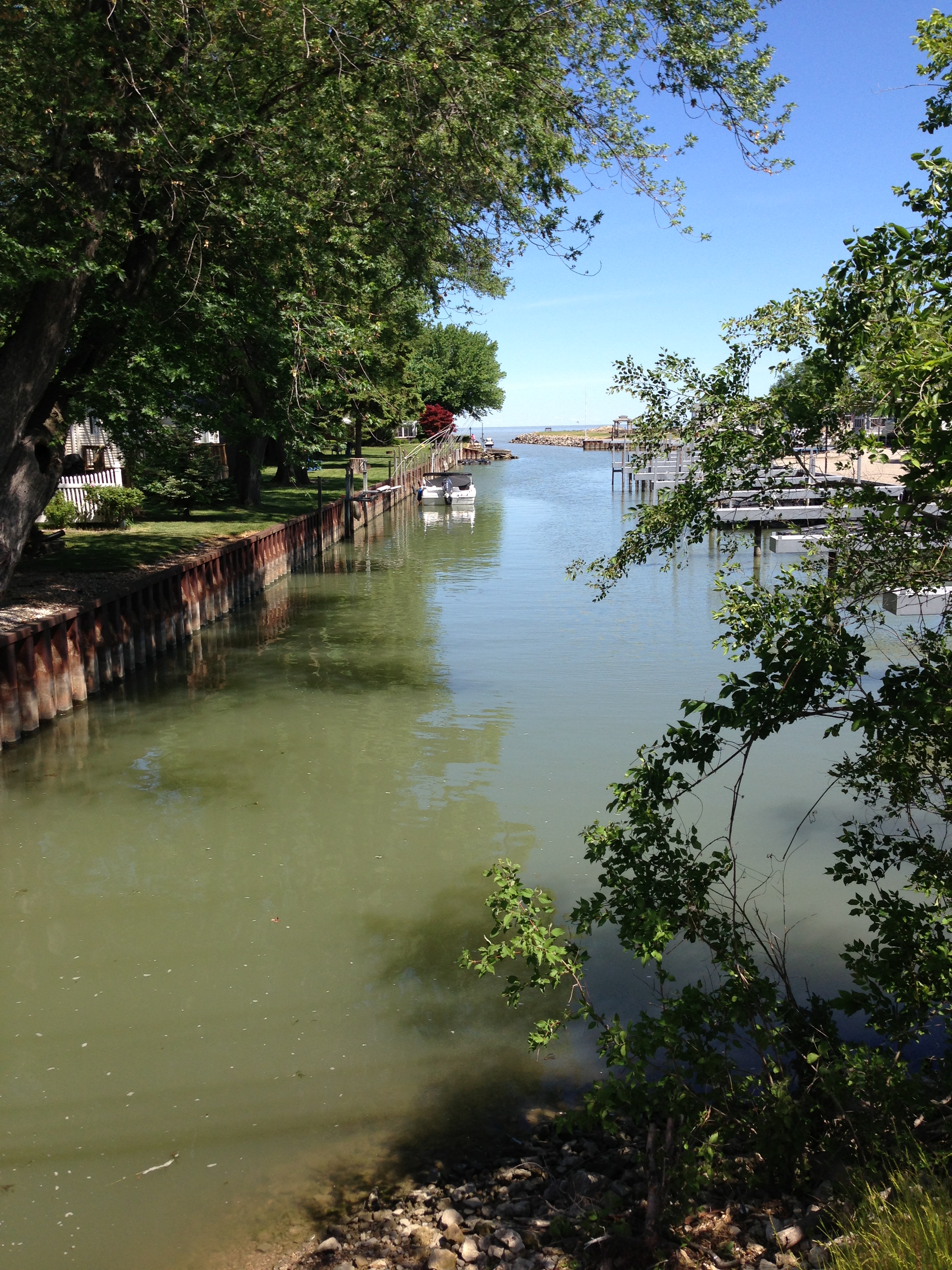
The canal across Sand Road from The Ditch
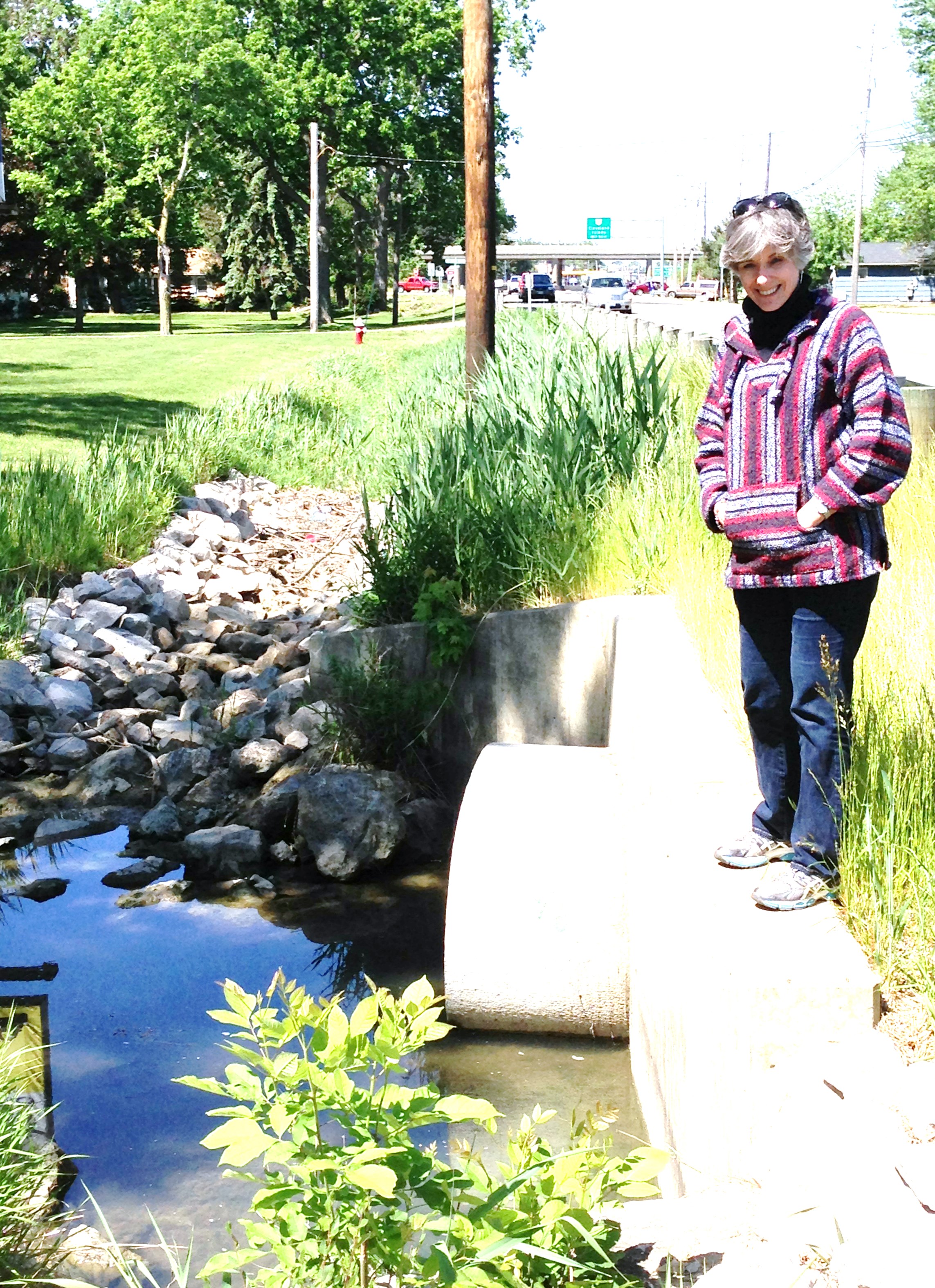
There was a red fox that had appeared to have been hit by a car, dead against the curb of Sand Road directly over where the culvert carried water across under an “unpretentious bridge” . . .
Not the fox . . .
Satisfied that we’d succeeded at our Ditch Quest (we’ll return to whether or not we did succeed), we headed north for two miles on Sand Road . . . .
. . . to Eileen and Jerry Jarc’s wonderful hospitality and their Five Bells Inn . . .
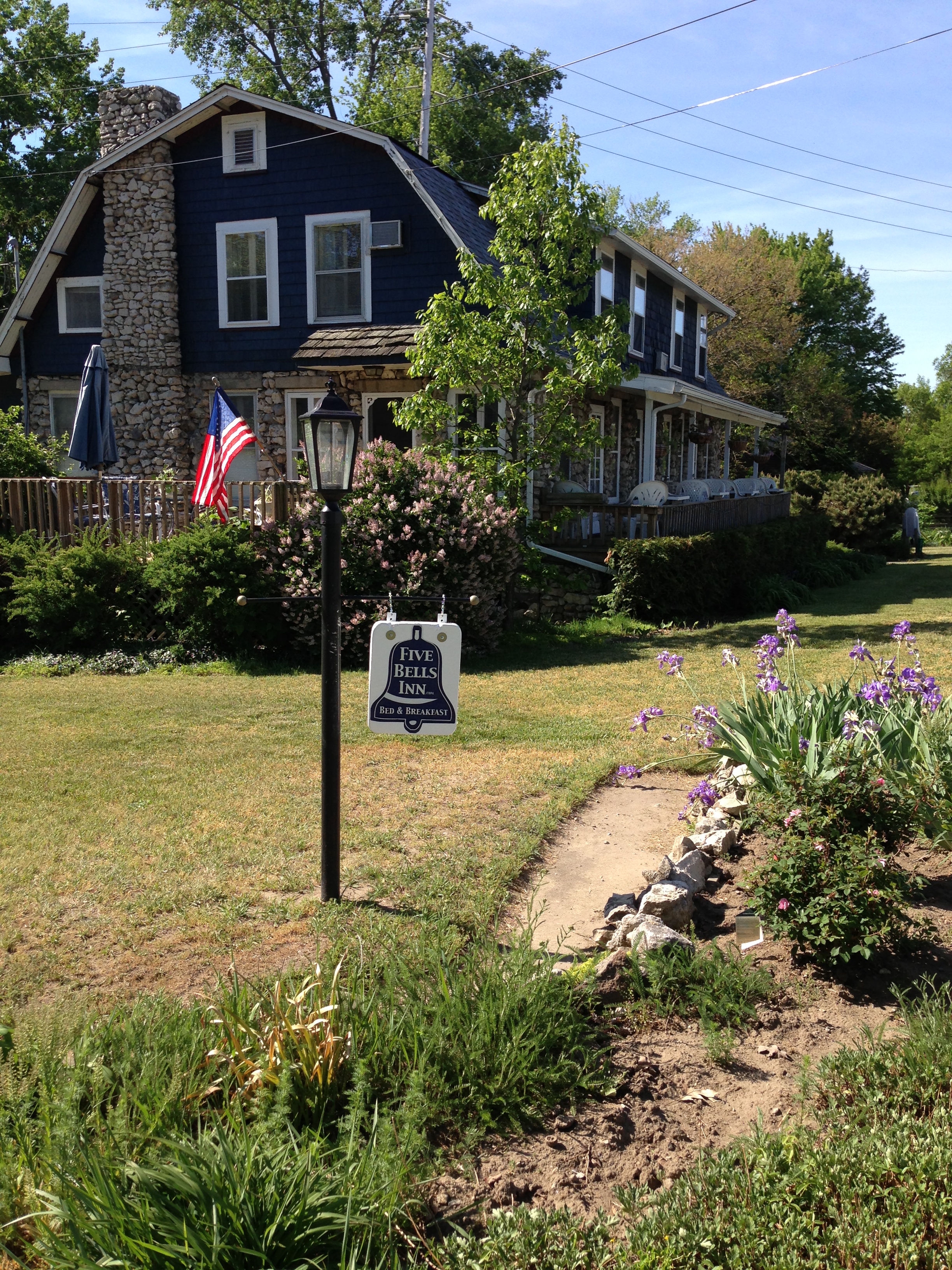
Five Bells Inn on Catawba Island
2766 Sand Road, Port Clinton, Ohio
We stayed in Room 7, a lavender retreat, in a cottage behind the main inn:
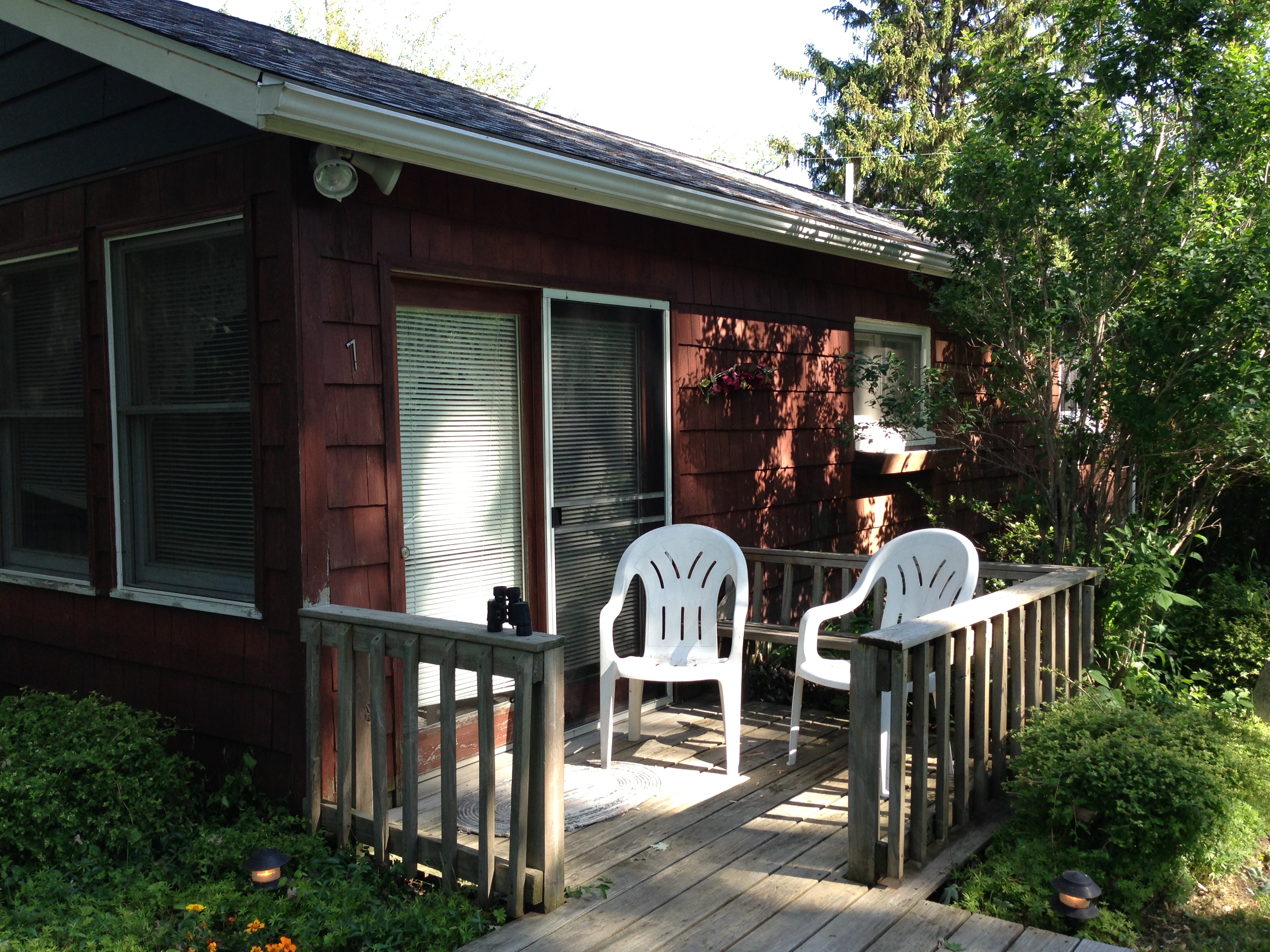
Number 7
This was our view from our front porch:
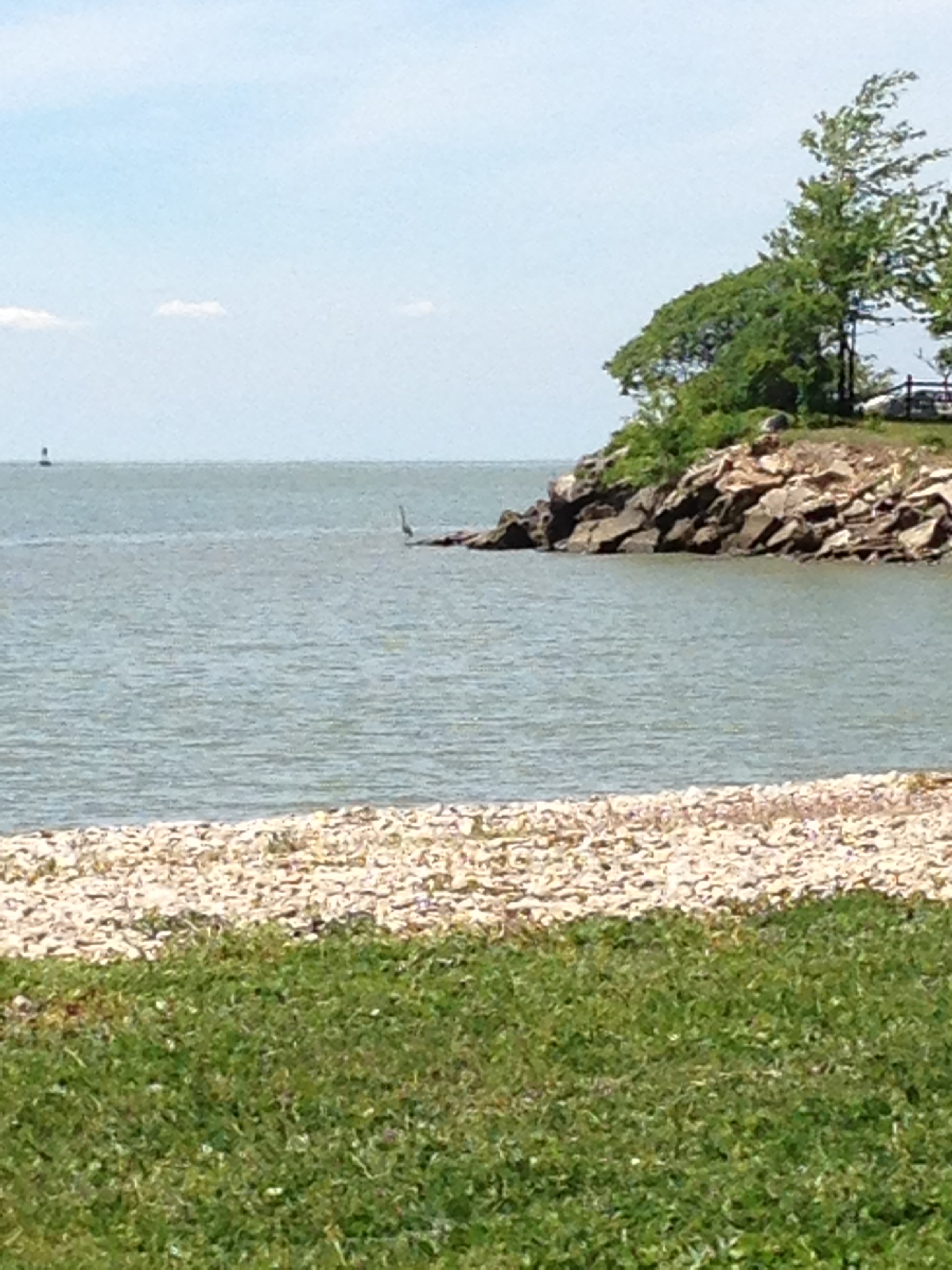
After getting a carry-out lunch from Rudder’s Cafe and Deli and picnicking at Catawba State Park . . .

. . . where I saw more Blue Herons in the space of an afternoon than ever before:
. . . we went to the Ottawa City General store at Catawba Point to “take a walk through the past (with) a touch of the new:
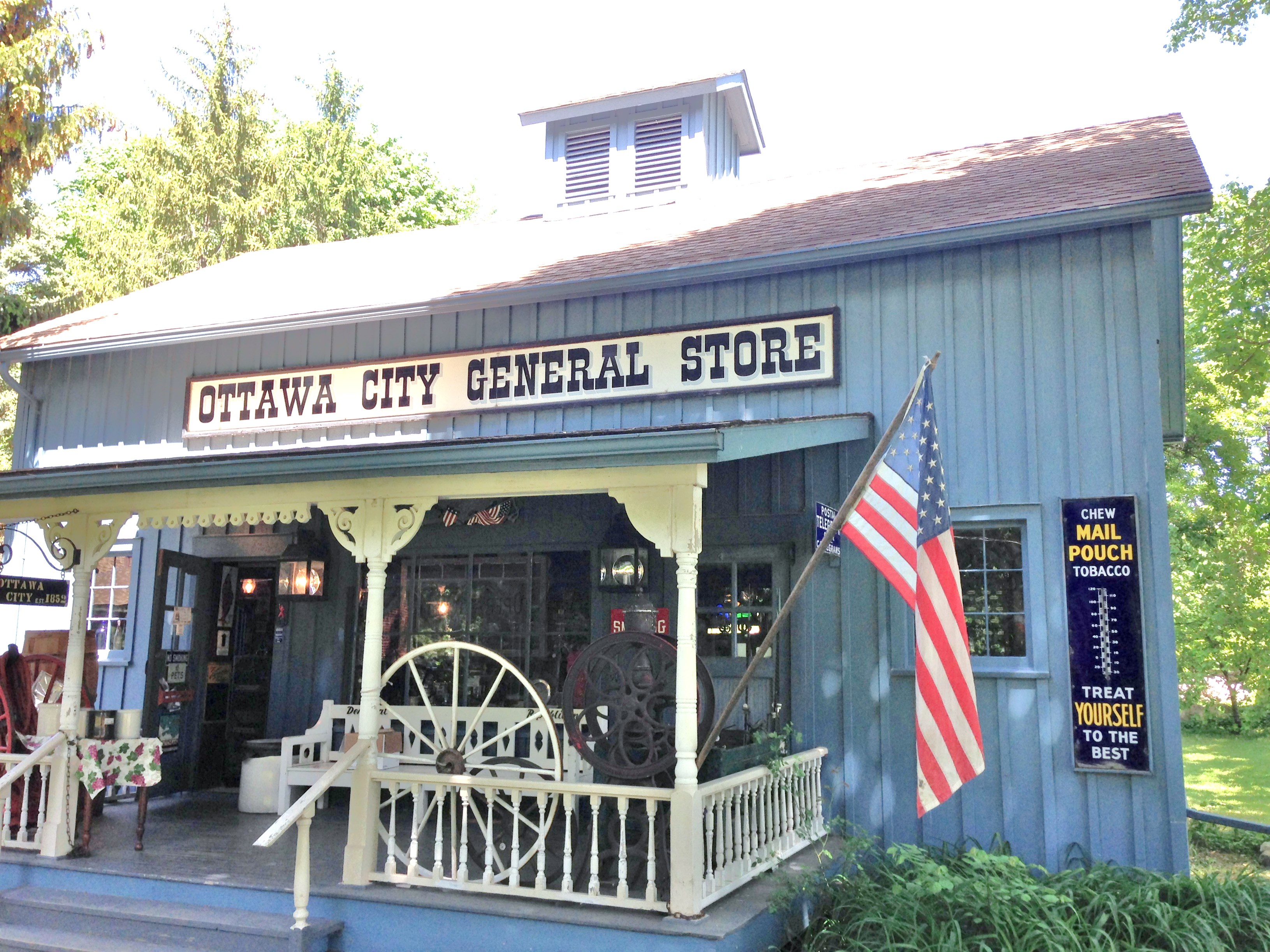
. . . to visit with Don Rhodes, editor of Legends of Catawba, (Catawba Historical Society, 2008) and discuss the merits of our Ditch Quest:
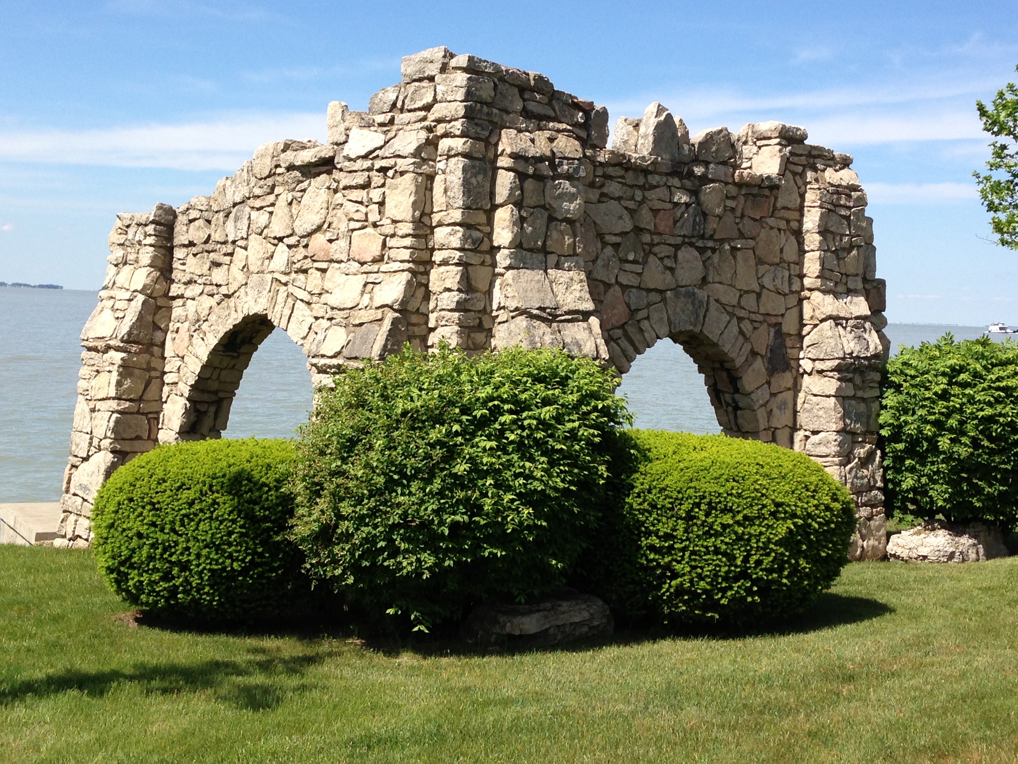
 . . . and then off we went biking, up hill and down, (by invitation) in the private Catawba Cliff development. One could see how the Cliffs must have been wonderful at one time before lots were surveyed and sold, but now they primarily serve as features of the residents’ landscaping. While that use speaks volumes, we weren’t sure what statement was intended with this faux ruin.
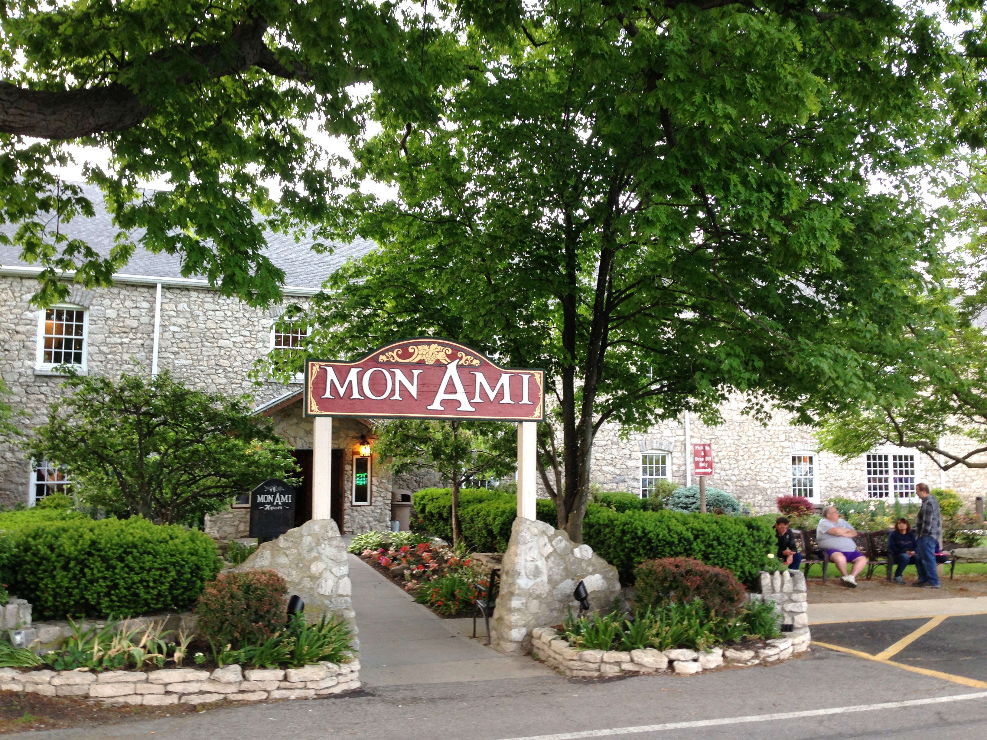
 We ended up at the truly historic Mon Ami winery and restaurant on Catawba:
. . . where we celebrated our Ditch Quest success with a sampling of their wines:

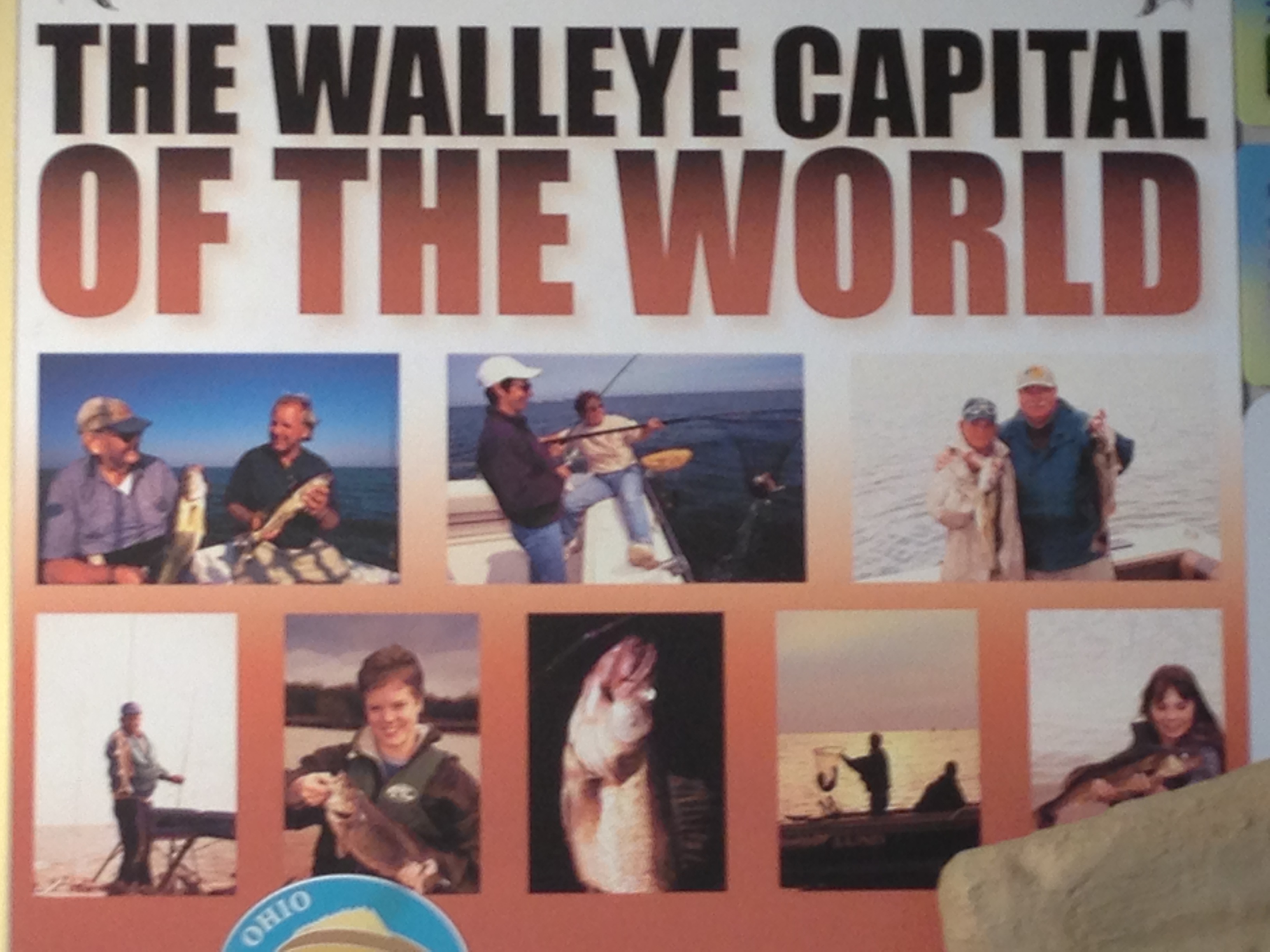
. . . and where we also had some “Walleye Bites”; after all, being at Lake Erie (and apparently in the Port Clinton area, in particular), we were in the . . .
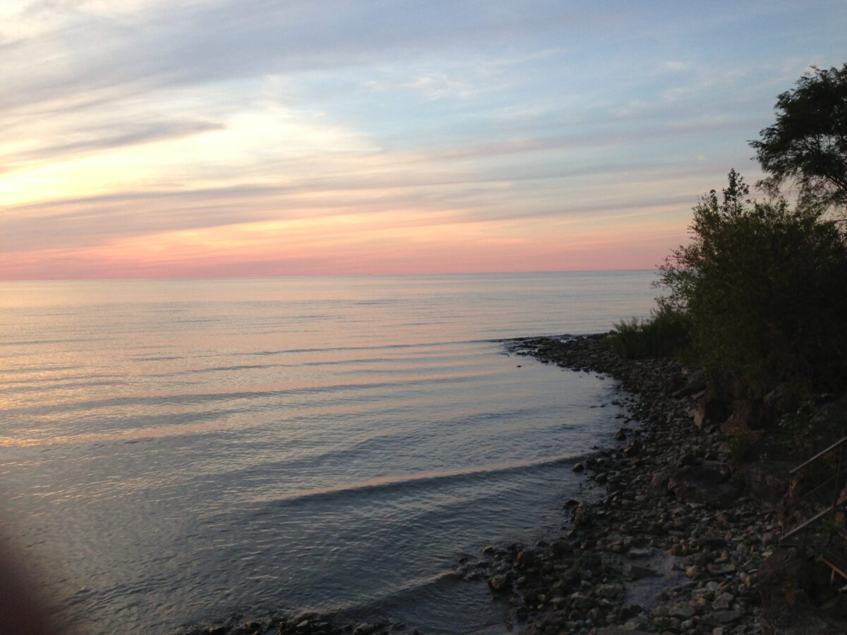
We “came home” to the evening view from the Five Bells Inn waterfront:
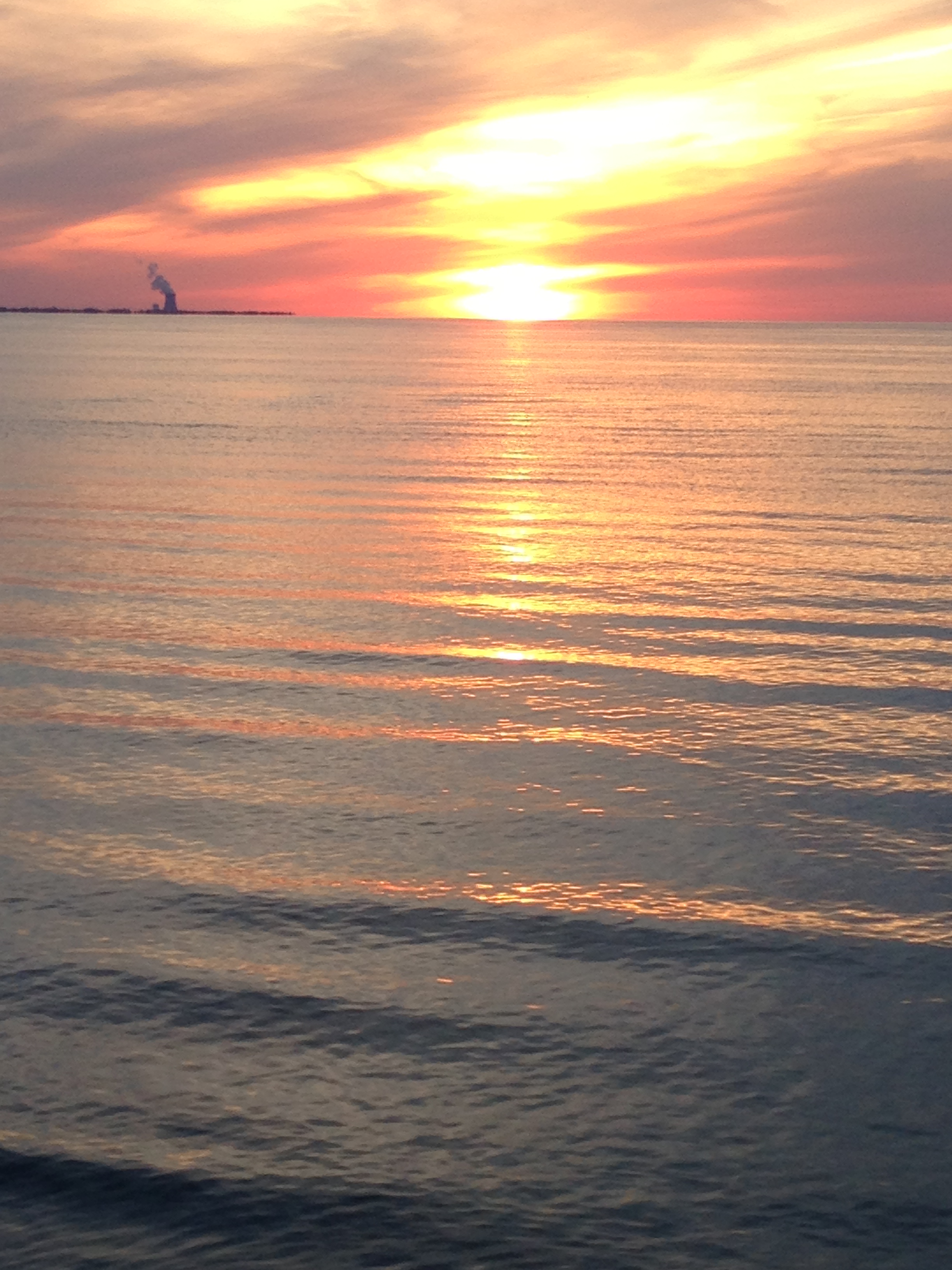 (Marred only by the Davis-Besse Nuclear Power Station across the lake in Oak Harbor, Ohio on the horizon.)
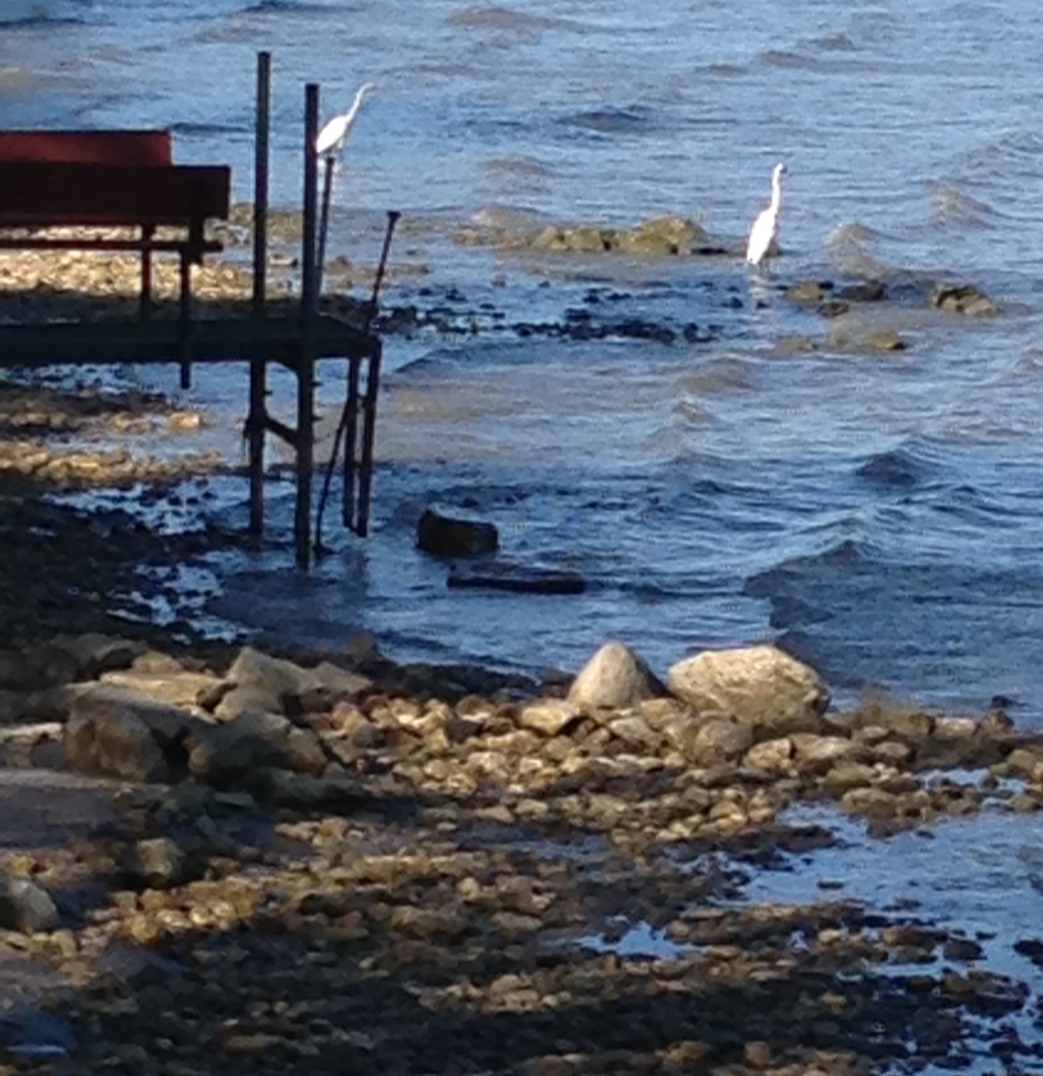
I watched the end of the sunset from the hot tub on the side deck of the Five Bells Inn and woke to this sight on the water before breakfast:
 Michigan may have had the first mile of concrete on Highway M-1, but Ohio had these very sweet stone mile markers, “milestones” they were:
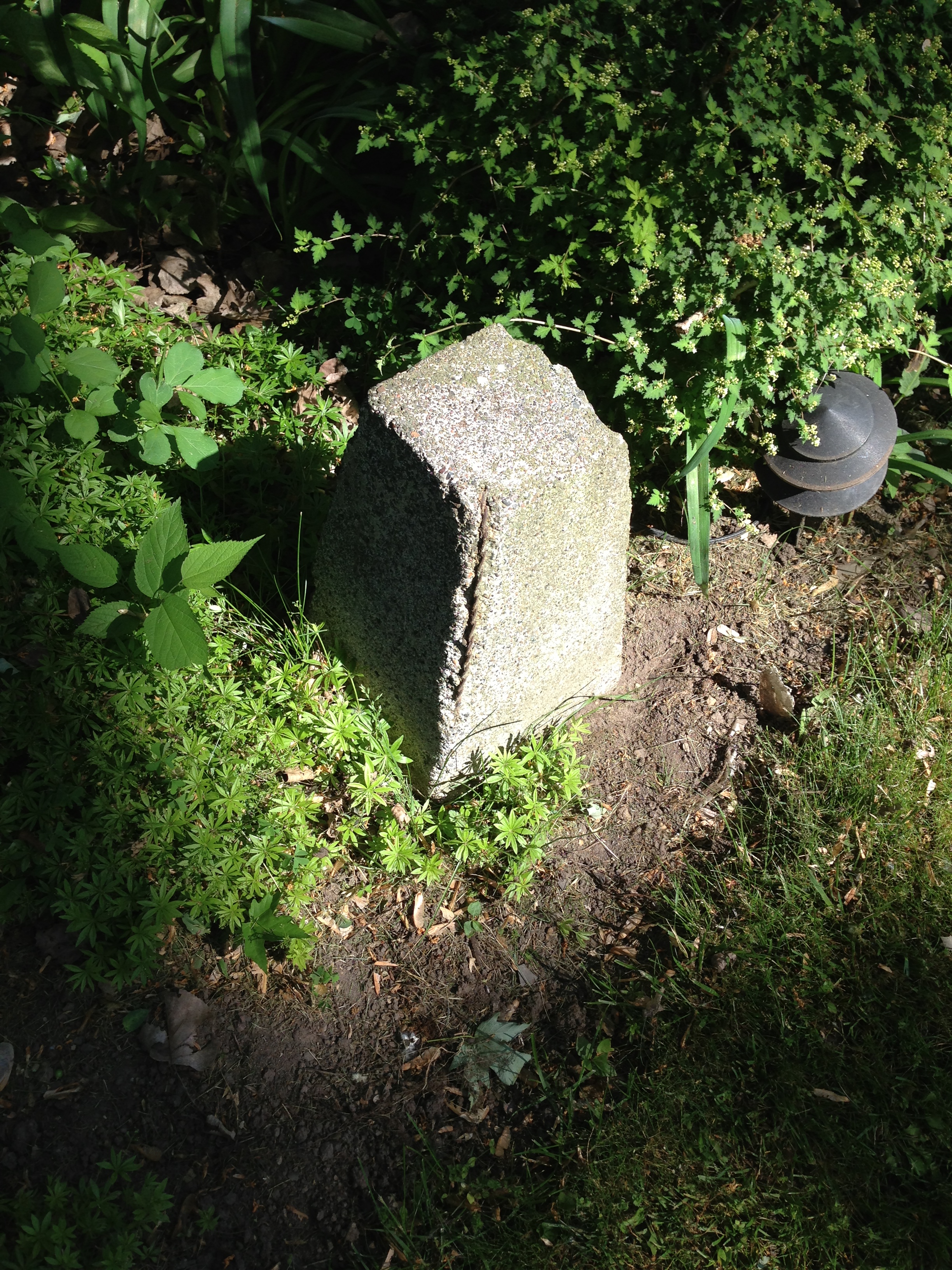
. . . fittingly marking our Catawba Island goodbye.


Hi, my name is Chazz Avery. I’m a local historian in Port Clinton, OH. I came across your blog while doing research on The Portage River. I found it interesting that someone from Michigan would have such interest in Catawba Island. Kudos. You are VERY close, but not exact, in your assumption about the “ditch”. Allow me to explain…
Catawba Island is the remnant of an ancient mountain range formed by plate tectonics. The mountain range was worn down by weather, erosion and glaciers. After the last ice age, the western basin of Lake Erie was not yet filled. Several rivers passed through it. Once the western basin began to fill, the water immediately north of Port Clinton and west of Catawba (which has a rarely used name of Portage Bay) was still land.
At that time, The Portage River didn’t end at what would become Port Clinton. It passed Port Clinton, ran on the south side of Catawba through what is now called East Harbor State Park (east of Catawba) and emptied into Lake Erie between what is now Kelly’s Island and Marblehead. As the many years rolled on, Portage Bay began to fill and the land there was washed away. The Portage River then emptied at Port Clinton. It’s uncertain exactly when this occurred but it was before the 1600s when the first European explorers came to this area. Catawba was then an island which ended roughly on the high ground where the Five Bells Inn is now. Sand Road formed some time later as the result of a new sandbar created by littoral drift from the Detroit and Maumee Rivers. The western end of the same sandbar begins in downtown Port Clinton and is called Lakeshore Drive (OH Rt 163). Both ends of the sandbar remained connected under about 5-10 feet of water until the 1870s.
The “ditch” you were seeking existed until around that same time and you are half correct in its location. The canal you illustrate on the north side of Sand Road is, indeed, the correct location. However, the drainage ditch on the south side is just that… a drainage ditch. Although it’s possible that, at some time in the past, it might have been a small creek that was converted for drainage. The water channel you were looking for ran between Sand Road and East Harbor Road (OH Rt 163). A couple hundred feet north of the drainage ditch.
The most recent map I’ve found to illustrate it is from 1863. I’ve uploaded it to this link if you would like to view it. http://beatlesource.com/_1863map.jpg
Actually, today, Catawba is still almost completely surrounded by water. Just a few hundred feet west of Five Bells Inn, there is about 400 feet of natural land over which Sand Road passes. That is the only natural connection to the mainland. The only other connection is a man made causeway just north of the intersection on Ohio Routes 163 and 53. The belief that Catawba is now a peninsula is a bit of an illusion because of how it appears at ground level. Satellite and aerial views show how much of an island it really still is.
I note, too, your description of your bike ride up and down hills. Those valleys would have been water channels during the times of the ancient glacial lakes that once covered this area before Lake Erie was formed. I also not that you visited Mon Ami. Where it now stands was, hundreds of years ago, the north bank of the ancient Portage River.
Keep up the good work and interest. I quite enjoyed reading it.
Regards,
Chazz
Chazz, thank you very much for your most interesting and generous response!
As we consider exhibits to be included in the new Catawba Island Museum at Union Chapel – which will become headquarters to the Catawba Island Historical Society – how could we not include something that addresses the island vs. peninsula history of our community. Your knowledge and explanations will be most helpful, and an integral part of our successful sharing of this story. Craig Koerpel, President, Catawba Island Historical Society
I enjoyed reading this as I am fascinated by history. I have been asked many times about Catawba’s island status by friends since becoming a Catawba resident. I had found some of this information on my own but learned some new things here, thanks for sharing. I would love to learn more about the native people of the area.
My 2013 trip to Catawba Island, Craig, was my first of 27 trips to 136 Great Lakes Basin islands accessible by bridge or ferry. I went back again to stay at the Five Bells Inn when I had a book presentation for “Great Lakes Island Escapes: Ferries and Bridges to Adventure” in 2017 at Lakewood Public Library. Looking forward to seeing the new museum on my next visit!
Thanks for your comment, Ed. I, too, would like to learn more about the native people of the area.